A measured 3D record
The site rebuilt from your footage so heights, spans and areas can be read off it, with the margin on every figure written on the page beside it rather than left for the client to assume.
Your pilots already capture far more than a folder of stills and a flyover film can carry. We take footage you have already flown and turn it into a measured 3D record, with what is on the site counted and read, and a link your client opens on a phone. It goes out under your name, not ours.
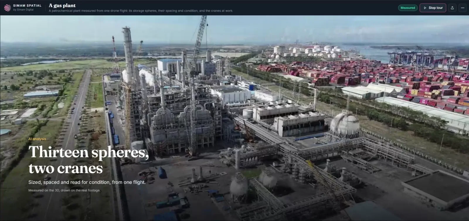
A flight sells once. You hand over stills and a film, the client watches it, and the job is finished. Almost nothing you captured reaches them in a form they can measure, share with their own board, or come back to in six months.
Four things, and a client can open all of them from one link.
The site rebuilt from your footage so heights, spans and areas can be read off it, with the margin on every figure written on the page beside it rather than left for the client to assume.
Antennas, poles, plots, buildings and build stages read off the model by software and then confirmed one by one by a person, against close crops of your own photographs.
The table your client already keeps, put next to the model it describes: which units are sold, which plots are built, which assets were found and on what date.
It opens in a browser on a phone. No install, no account and nothing for your client’s IT department to approve.
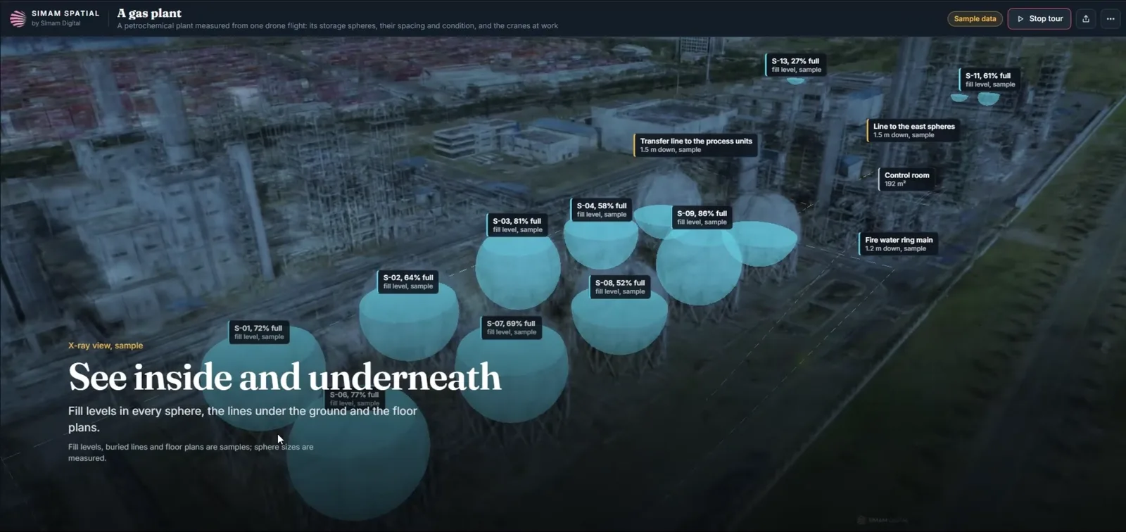
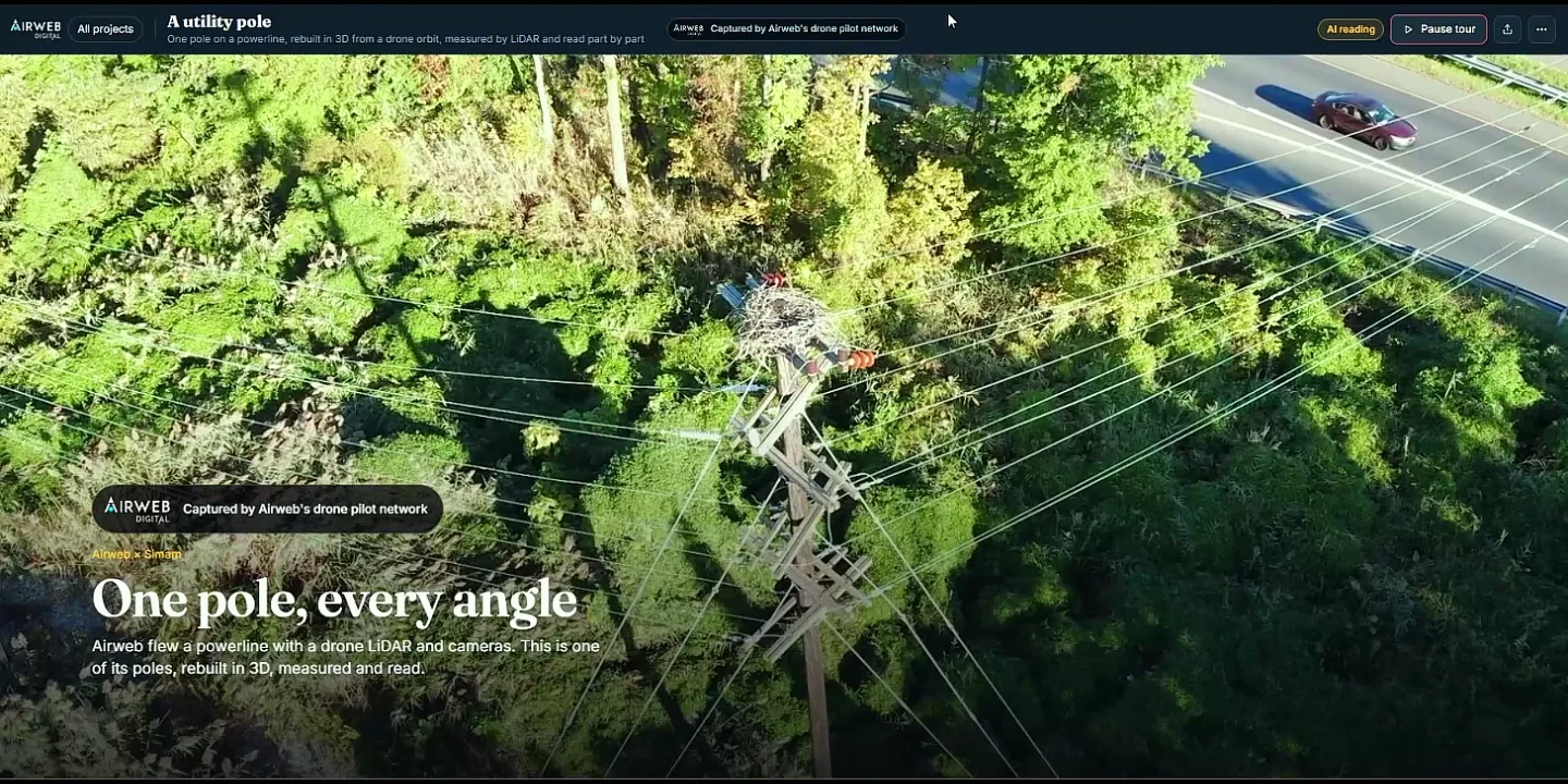
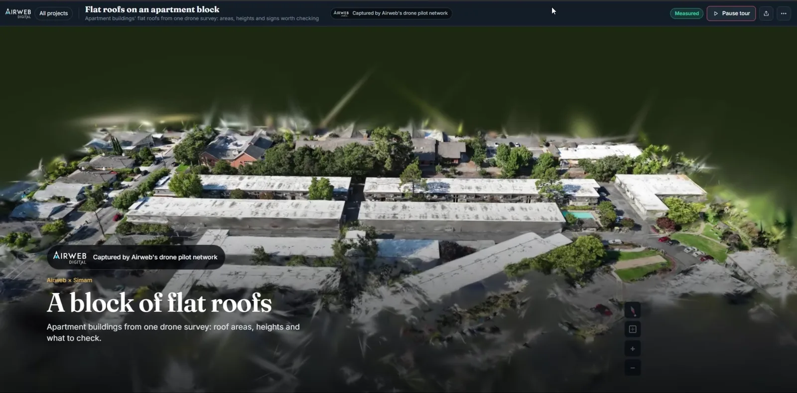
The viewer carries your brand and your colours, and your own domain where you want it. Where a client would rather see both names we co-brand, and the caption says which part is whose. What we do not do is go round you to your client.
Every figure here is published somewhere you can open and check. Where we have no figure, we say that instead.
A routine flight, flown the way you already fly. Tell us the question the client actually wants answered and we will say before you go up whether the flight you are planning will carry it.
The reconstruction, the measurements and the counts, each one checked by a person against your own photographs before it goes anywhere near your client.
A link under your brand, with every figure carrying its margin, and us behind you if the client asks something technical.
Nothing here asks for a budget. What we build from a capture.
Not to get a usable record. Scale from the drone’s own positioning gives figures good to a few per cent, which is enough to plan access, count what is there and compare two dates. RTK or ground markers tighten it, and where a client needs survey-grade numbers we say so instead of stretching what we have.
Yours. It stays yours, and so does the client. We work behind you, and we will sign that.
Yes. That is the normal arrangement. Your brand, your colours, and your own domain where you want it.
Heights, spans, footprints, areas, clearances, volumes of material on the ground, and counts of things that repeat, like antennas, poles or plots. Every figure is published with its margin.
It depends on the size of the site and what is being read off it. Send a flight through and we will tell you for that job rather than quote an average that fits nobody.
Partner terms are agreed per relationship rather than off a rate card. Where we quote a starting figure it sits on the page for that service, and that is where a conversation about yours begins.
Send us one flight you have already done. We will tell you what comes off it, and what does not, before either of us promises a client anything.