An inventory that is current, not historic
What is on the mast today, read from the day it was flown, rather than from a drawing that was accurate at handover.
A guyed mast, turned into something an engineer can walk from base to top in a browser. Every antenna has a height, a facing and a photograph behind it. Nobody climbed, nothing was closed, and the record is current rather than historic.
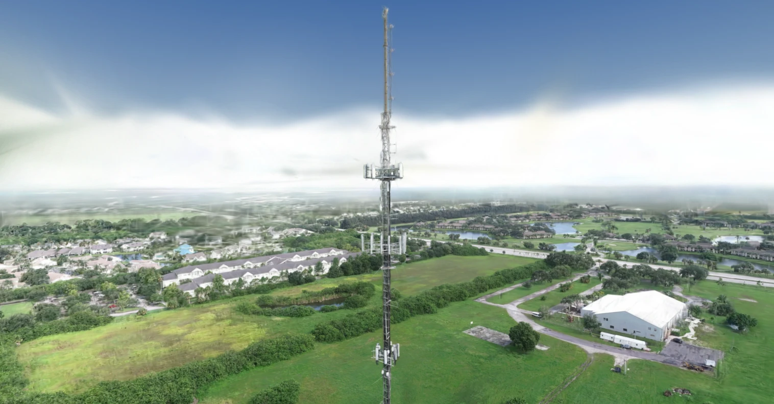
The record lives in drawings that were right once. It drifts out of date the moment a contractor swaps a panel, and the only way to check it is to send someone up: a day, a crew and a permit. So nobody does it to answer a question. They do it when something has already gone wrong.
What is on the mast today, read from the day it was flown, rather than from a drawing that was accurate at handover.
Each reading links to the photograph it came from. That is the difference between a number and a claim, and it is what lets somebody outside your team check it.
Before anybody quotes for one. The engineer knows where to point, and the scope is written from what is actually there.
Heights, facings and tilts matter to coverage and to load. They stop being two separate uncertainties.
Every figure on this page says what kind of figure it is. That is the whole of why it can be used.
It narrows what a climb is for and tells a structural engineer where to point. It is not a structural assessment, and a screening figure is not a compliance one.
The software assists; it does not conclude. Anyone promising a hands-off answer on a structure is selling something we could not get to work.
These are good enough to see with, compare with and plan with. They are not good enough to settle anything.
The obvious thing to put here is how many climbs this avoids. Nobody measured that, so there is no figure for it and we are not inventing one.

Captured by Airweb’s drone pilot network. The flying is theirs and the reading is ours. Their logo is their own, shown on a dark panel of ours so it is legible here.
Tell us what it is and what you need to know about it. We will say whether this would answer it, including when it would not.