One flight, one honest picture of the whole society.
- The society in 3D, in the browser
- Every plot pinned and coloured by stage
- Plan against ground check
- A short written report
One drone flight turns your society into a 3D map anyone can open on a phone: which plots are built, which are still empty, what is missing against the approved layout, and what went under the ground before it was covered.
Works from your own drone footage · No app to install · A private link for every plot owner
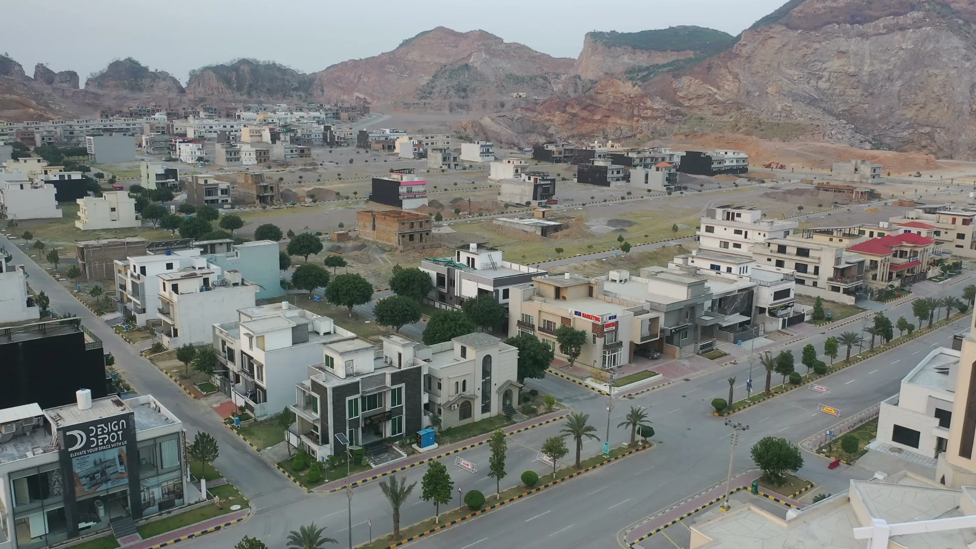
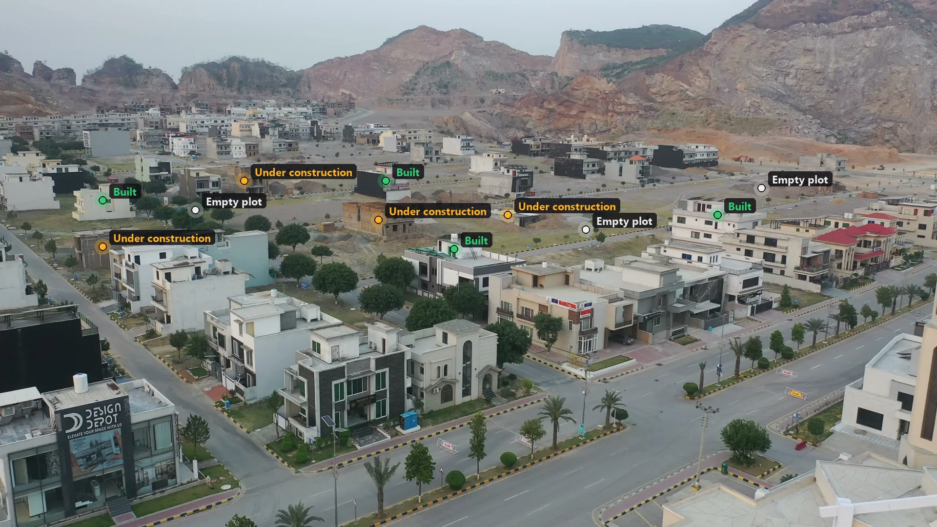
Illustration on stock footage of a housing society in Pakistan (Pexels). In a project, every plot is found, placed in 3D and coloured by stage, from the whole flight.
By buyers, by overseas investors, by the authority and by your own maintenance team. Today the answer is a site visit, a file search or a guess.
Allocations that no longer match the ground, after re-planning, merged plots or a road moved.
Parks, mosques, schools and green belts on the approved layout that were never built, or were built somewhere else.
Sewers, water mains and cables laid, covered and forgotten, until someone digs in the wrong place.
Owners abroad who paid for a plot they have never seen, and hear about progress second hand.
Maintenance with no up-to-date map of what was actually built.
Each of these starts from the same flight. Most societies want two or three of them.
The whole society rebuilt in 3D from the flight, with every plot found, pinned where it stands and coloured by stage: empty, foundations, structure, finished.
Your approved layout laid over what was actually built. Plots, roads and amenity sites that do not match are flagged, so your surveyor knows exactly where to look.
A private link per plot: its stage, the view from every flight, and what changed since last month. Owners in Dubai, London or Lahore see their plot without a visit.
Fly while trenches are open and slabs are poured. Pipes, cables and foundations are kept in 3D, in place, for every repair that comes after.
Allotment files, registers and handwritten ledgers read by AI, cross-checked against the plot map, with only the doubtful entries sent to a person.
A picture of the finished street or the owner’s own home, made from the real view of the plot and always labelled as an illustration.
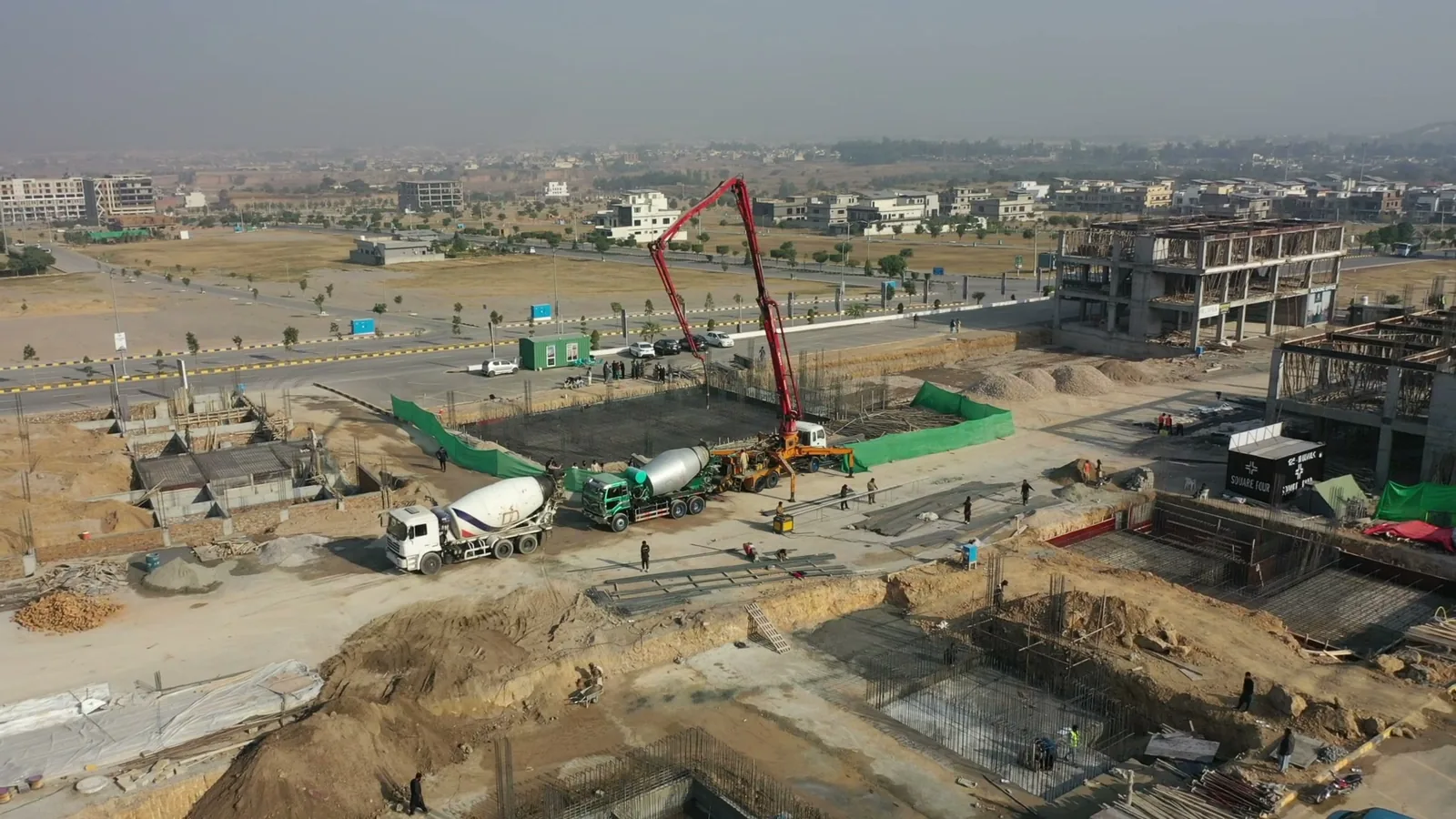
We cannot see through soil, and nobody honestly can. What we can do is capture the works while they are open: the steel, the footings, the pipe runs and the cable ducts, in 3D and in their true positions. A year later, when a main needs repairing or a new connection has to go in, the record shows where things are instead of someone’s memory of it.
Stock footage of a basement pour in Pakistan (Pexels).
These are live demos from our research lab, not showreels. Each one reports its measured results and what it still gets wrong.
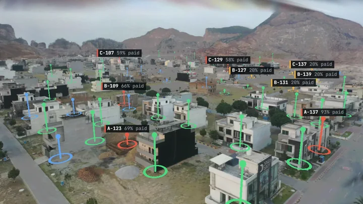
A housing society in Pakistan rebuilt from a 20-second clip, every plot pinned with its build stage, and a sample register of owners, files and payments laid on top and checked against what the drone saw. Every plot has a passport.
Open the live demo →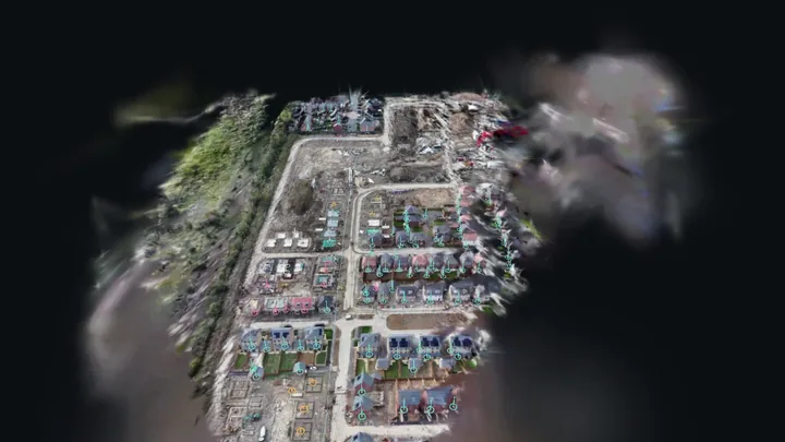
A 44-second drone pass over a housing site, rebuilt in 3D with every plot found and coloured by how far it has got, machines and materials counted, and the walk to every unfinished plot mapped.
Open the live demo →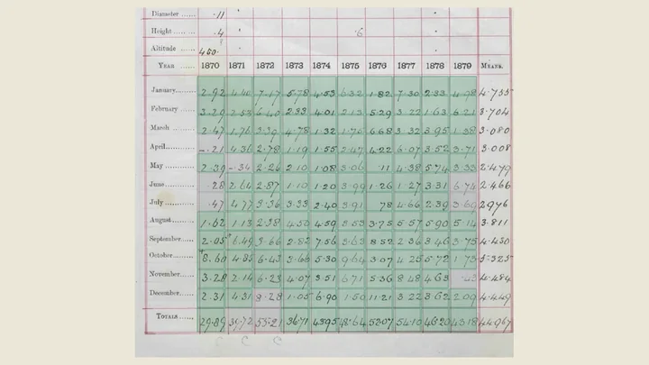
Handwritten registers from the 1860s to the 1950s read cell by cell and scored against human copies. Where two readers agree, every cell was right; the rest go to a person.
Open the live demo →Every society is a different size, so each one is quoted after we have seen your layout and a sample of footage. Looking costs nothing.
One flight, one honest picture of the whole society.
A flight a month, and a timeline you can scrub.
A private page for every plot owner.
Your files, read and matched to the ground.
No hardware to buy and nothing to install.
A planned flight over the society. If you already fly the site, your footage is usually enough.
We turn the flight into a 3D model and find every plot in it.
Your approved layout and records are matched to what is on the ground, and differences are listed.
Your team, your authority and every plot owner see what they need, on a phone.
Any flight over your society or site. We will tell you honestly what it can become and what a project would look like, before you pay anything. It is how most of our work outside the UK starts.
Out of the box, a flight gives you a progress and planning picture: what is built, where, and how it compares with the plan. That is enough to spot a missing park, a plot built out of line or a stalled phase.
Settling a boundary dispute is different. That needs survey-grade measurement, so for those projects we add ground control points or a survey-grade drone and work alongside a licensed local surveyor. We will always tell you which of the two you are getting.
The ones societies ask first.
No. If you already film the society, we can usually work from that footage. If not, a local pilot can fly it to a simple brief we give them.
Yes. The work happens on the footage, not on site, so we can start without anyone travelling to site. Calls, reports and links all work remotely.
Only if you want them to. Each plot passport is a private link, and what it shows is set by you.
Monthly while a phase is under construction, and whenever trenches or foundations are open. Once a phase is finished, a flight a year keeps the record current.
Not on its own, and we will not claim it is. For boundary work we add ground control or a survey-grade drone and a licensed surveyor. For progress, planning and buyer updates, a normal flight is enough.
Yes. The plot map is software, so plot numbers, owners and payment status can be linked to it, and the portal can live on your own domain.
It depends on the size of the society and what you want from it, so we quote after seeing your layout and a sample of footage. Looking at your footage costs nothing.
Your society, plot by plot, on any phone, from one flight.
Housing societies, developers, contractors and planners in Pakistan, the Gulf, the UK and beyond.