Immersive media, destination and culture experiences, and applied AI — built by the studio as working research, every one live in the browser. Each is shown with the business question it was built to answer.
Independent Simam Digital studio work. Projects marked Concept are published as demonstrations. References to Expo 2030, King Salman Park, Vision 2030 and related programmes, and to any club or venue shown, are illustrative and imply no affiliation with or endorsement by those organisations.
Headset-grade experiences delivered as a web link, not a store download.
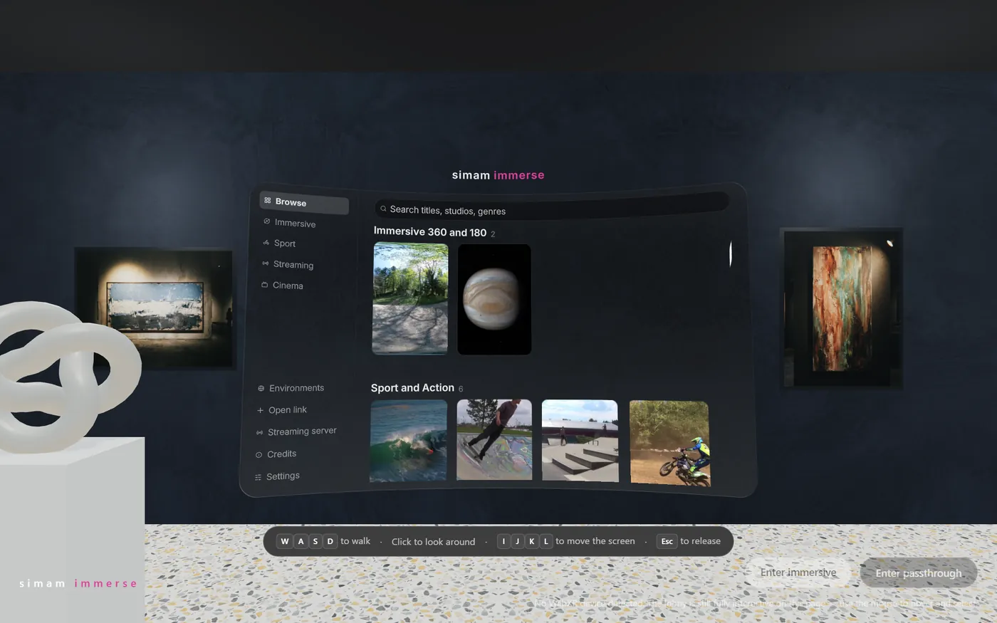
A headset-grade media player that arrives as a link. A browser-delivered immersive cinema: a spatial lobby you walk through, a catalogue of 360° and 180° titles, sport and streaming channels, and true WebXR. The same build runs on Meta Quest and Apple Vision Pro, updates on reload, and needs no store submission.
Prove that immersive video can be distributed like a film — as a URL — instead of as a native app behind a store review and an install.

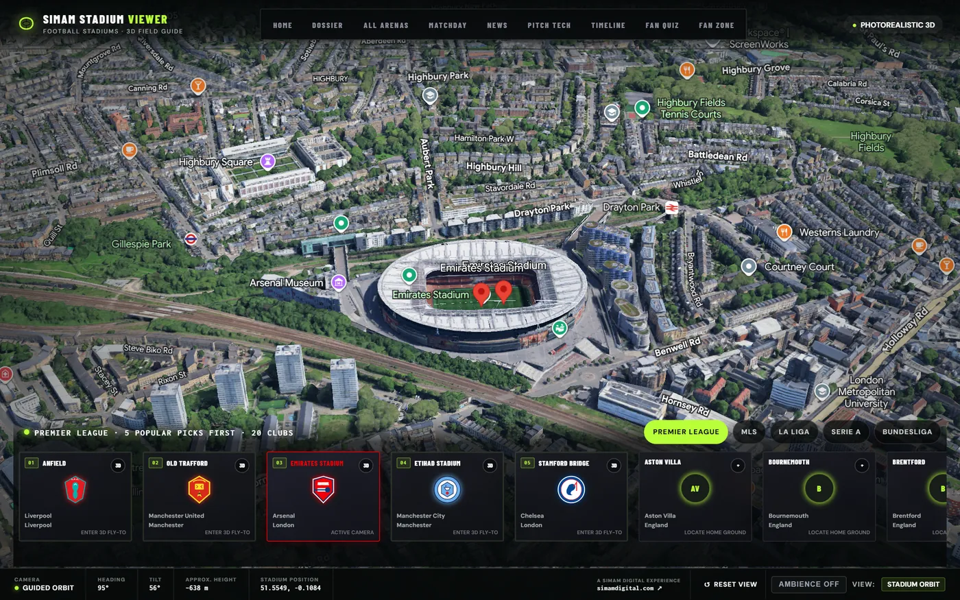
Every major football ground, explorable in photorealistic 3D. A cinematic field guide to the world’s football stadiums built on Google’s photorealistic 3D tiles: guided orbit and broadcast camera presets, club dossiers, matchday and news panels, an AI stadium guide, a privacy-preserving live fan layer, and a WebXR mode that streams the same real tiles into a headset.
Show that a venue experience can scale to hundreds of grounds without a bespoke 3D production for each one — and still support live, social and immersive features.

Places explained before you can visit them — heritage, expo sites and giga-projects.
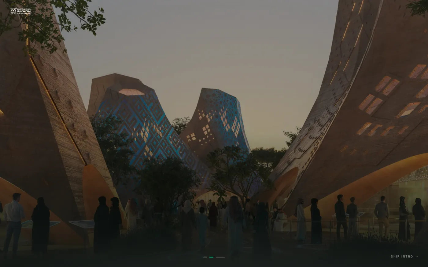
A world expo, told as a cinematic journey. An immersive scrolling narrative through a proposed Riyadh Expo site: rendered pavilion environments, a countdown to opening day, and a guided sequence that carries a visitor from the title card into the architecture.
Demonstrate the pre-opening story layer a host city needs — something that sells the ambition of a site years before anyone can walk it.

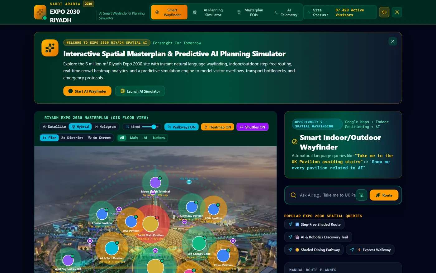
Natural-language wayfinding and a predictive crowd simulator. An operations twin for a six million square metre expo site: a GIS floor view with satellite, hybrid and hologram blends, live crowd heatmaps, walkway and shuttle layers, natural-language routing (“take me to the UK Pavilion avoiding stairs”), and a predictive engine that models capacity overflows, transport bottlenecks and emergency protocols.
Show the visitor-experience and control-room layer a major venue needs on opening day — routing, queue relief and scenario planning on one screen.

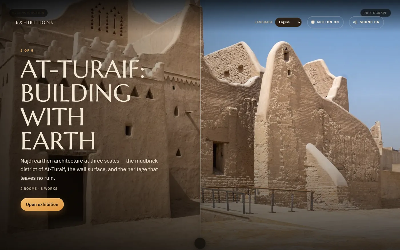
Five UNESCO-listed places, rebuilt as galleries you can walk through. A cinematic digital exhibition of Saudi Arabia’s five World Heritage sites — Hegra, At-Turaif, Jubbah, Al-Ahsa and Rijal Almaa — each a two-room gallery of eight works. Documentary photographs sit beside viewpoint-matched reconstructions, honestly labelled as interpretation rather than record, in English, Arabic, Chinese, Hindi and Spanish.
Show how a tourism board or cultural authority can publish world-class heritage storytelling straight to the browser — no app, no headset, no queue.

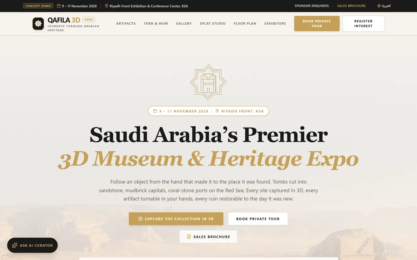
A complete 3D museum and heritage expo, sold before it is built. A full expo experience published as a working concept: a bilingual event site wrapped around a real-time 3D collection. Artifacts are inspectable in the browser with a switchable renderer — PlayCanvas PBR or 8K Gaussian splatting — museum lighting presets, exploded views, AR passthrough and VR modes, an AI curator, then-and-now sliders, a floor plan and an exhibitor journey.
Prove the entire expo pipeline — capture, restore, exhibit, sell — so organisers and sponsors can see the product before a venue is ever booked.

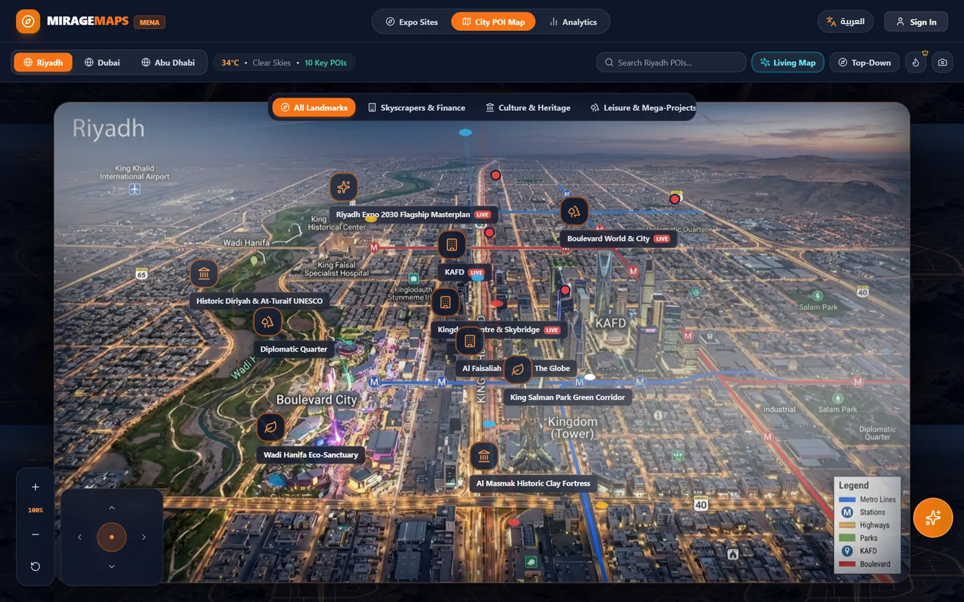
A living map for expo sites and giga-projects. An interactive wayfinding and storytelling twin for MENA venues — expo masterplans and city landmark maps for Riyadh, Abu Dhabi and Dubai — rendered as a 3D isometric plan that switches between digital twin, shade heatmap and analytics views, with guided story tours, smart queues, an expo passport and AI wayfinding, fully bilingual.
Demonstrate the visitor-experience layer a destination needs on day one — wayfinding, queue relief and sponsored storytelling on one screen.

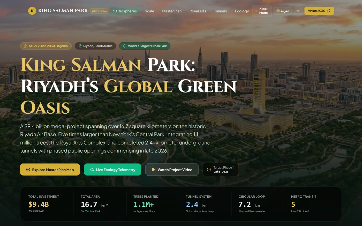
The world’s largest urban park, explorable before it opens. A destination showcase built around Riyadh’s 16.7 km² Vision 2030 flagship. Visitors explore interactive WebGL biospheres with time-of-day lighting from desert dawn to illuminated night, live ecology telemetry — thermal drop, species registries, soil strata — the Royal Arts Complex, the tunnel system and the full master plan, with a kiosk mode and complete Arabic support.
Show how a giga-project communicates scale, ecology and progress to the public, investors and press — years before the gates open.

Decision tools, research and spatial software the studio runs in the open.
A readiness score in five minutes, with no email field in the way. Twenty questions about how a business actually runs, returning a readiness score across six areas and a personalised action plan — the technologies, resources and next steps. Sitting alongside it are nine more free decision tools: ROI, cost, policy, jargon and use-case finders.
Prove that useful advice given away without a lead-capture gate builds more trust — and more qualified enquiries — than gating it ever did.

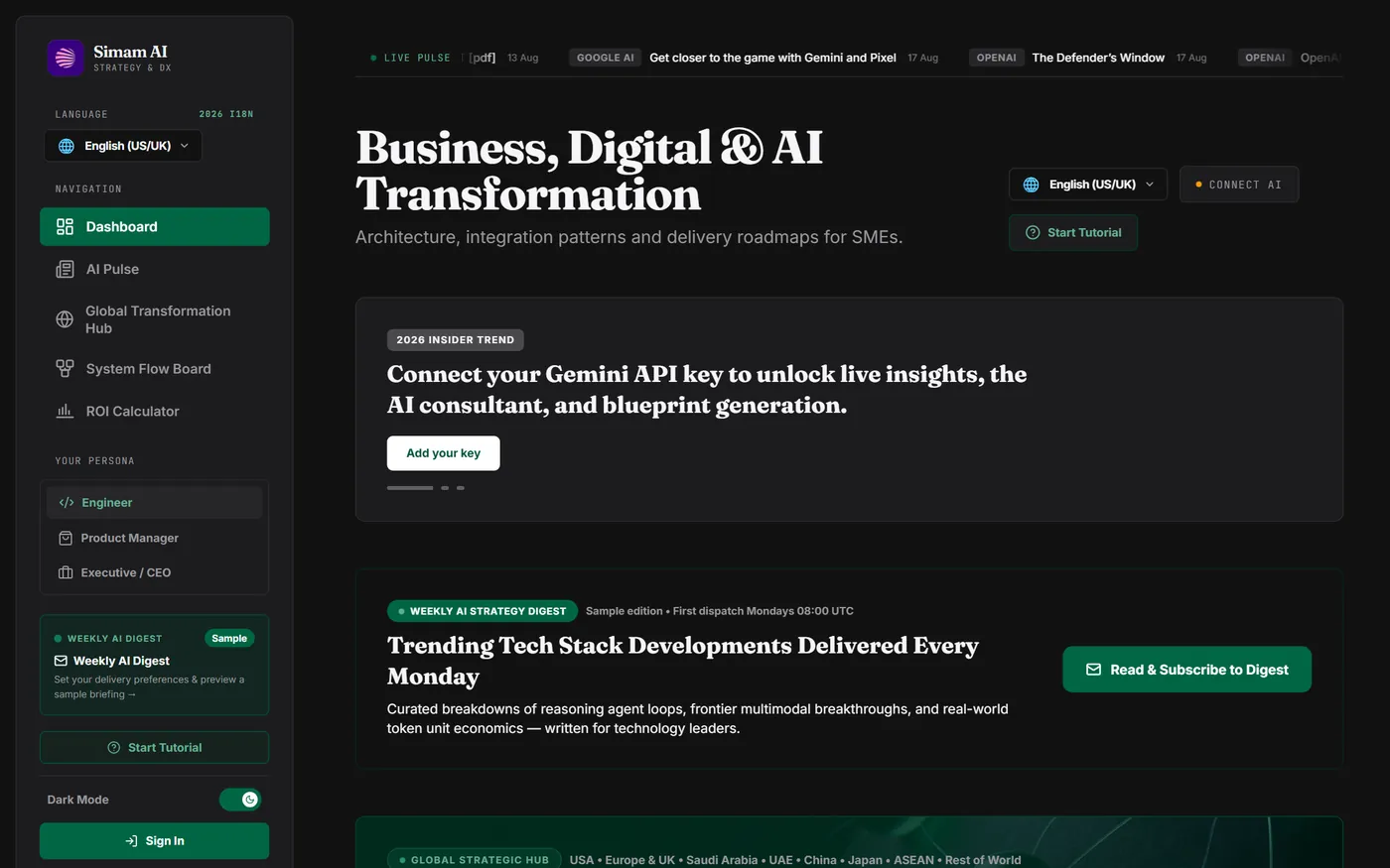
An AI adoption adviser that costs us nothing to run. Eleven strategy tools for SMEs — readiness, ROI, roadmap, app architect, framework explorer — with regional playbooks across eight markets and a scheduled weekly digest. Built on a bring-your-own-key architecture, so inference cost does not scale with usage.
Show that a genuinely useful AI platform can be given away at zero marginal cost, if the architecture decisions are made in the right order.

The research division, published in the open. Simam Digital’s applied research arm: research notes, publications and an active-cycle index covering applied AI, XR and spatial intelligence for industry, infrastructure and public systems — work published as it develops rather than after it is finished.
Establish credibility the way a research group does — by showing the working, on a schedule, in public.

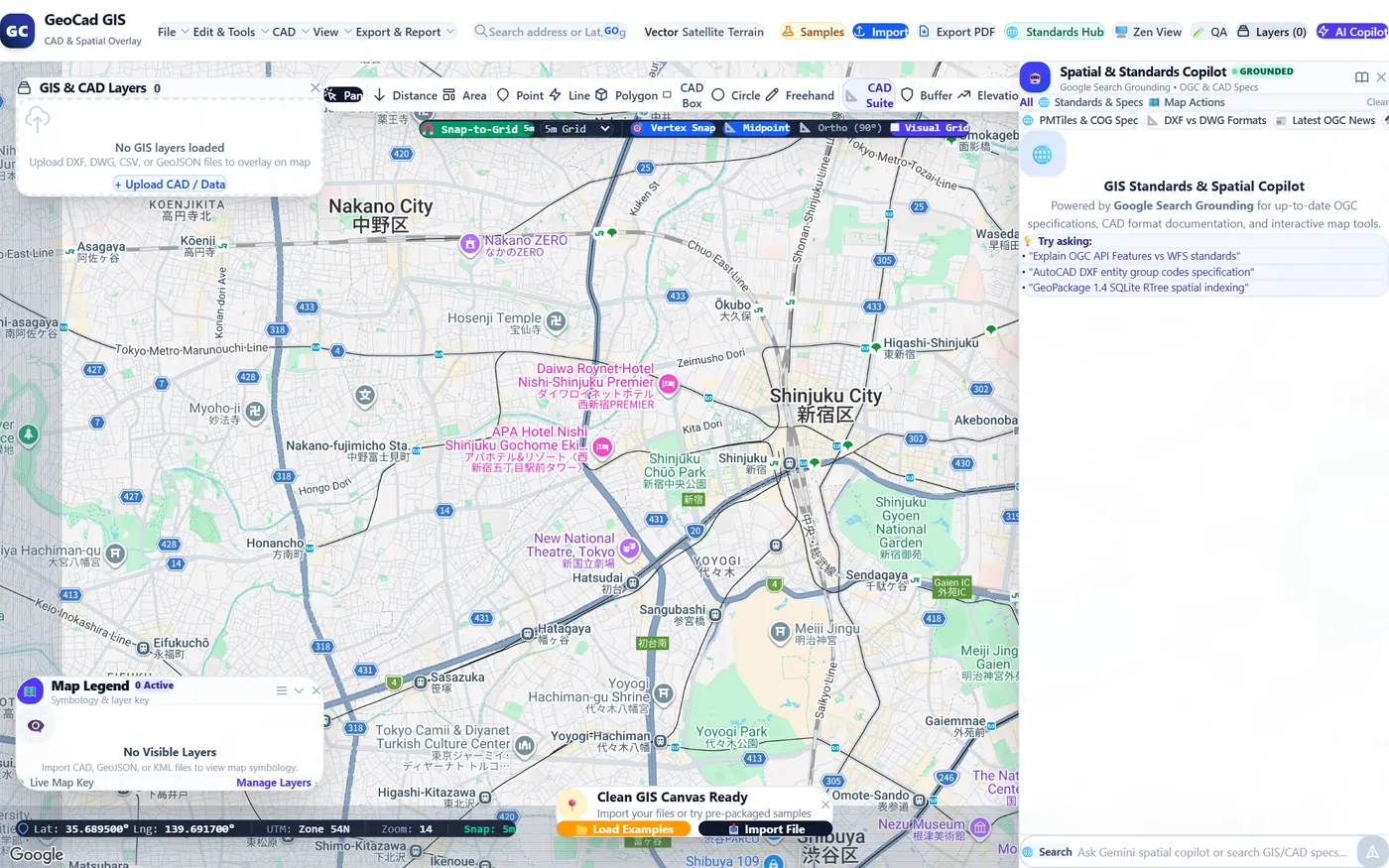
A CAD and spatial workbench that runs in a browser tab. Import DXF, DWG, CSV or GeoJSON and overlay it on vector, satellite or terrain basemaps. A full measurement and drawing suite — distance, area, buffer, elevation profile, snap-to-grid, vertex and midpoint snapping, ortho constraint — plus layer management, PDF export and a standards copilot for OGC and CAD specifications.
Prove that survey and planning teams can review, measure and mark up spatial data without a desktop GIS licence or an install.

Every project on this page went from brief to live URL inside our own studio — capture, 3D, interface and story. We can do the same against your venue, your sector and your opening date.