Telecom and asset inspection
Drone mast inspection in 3D
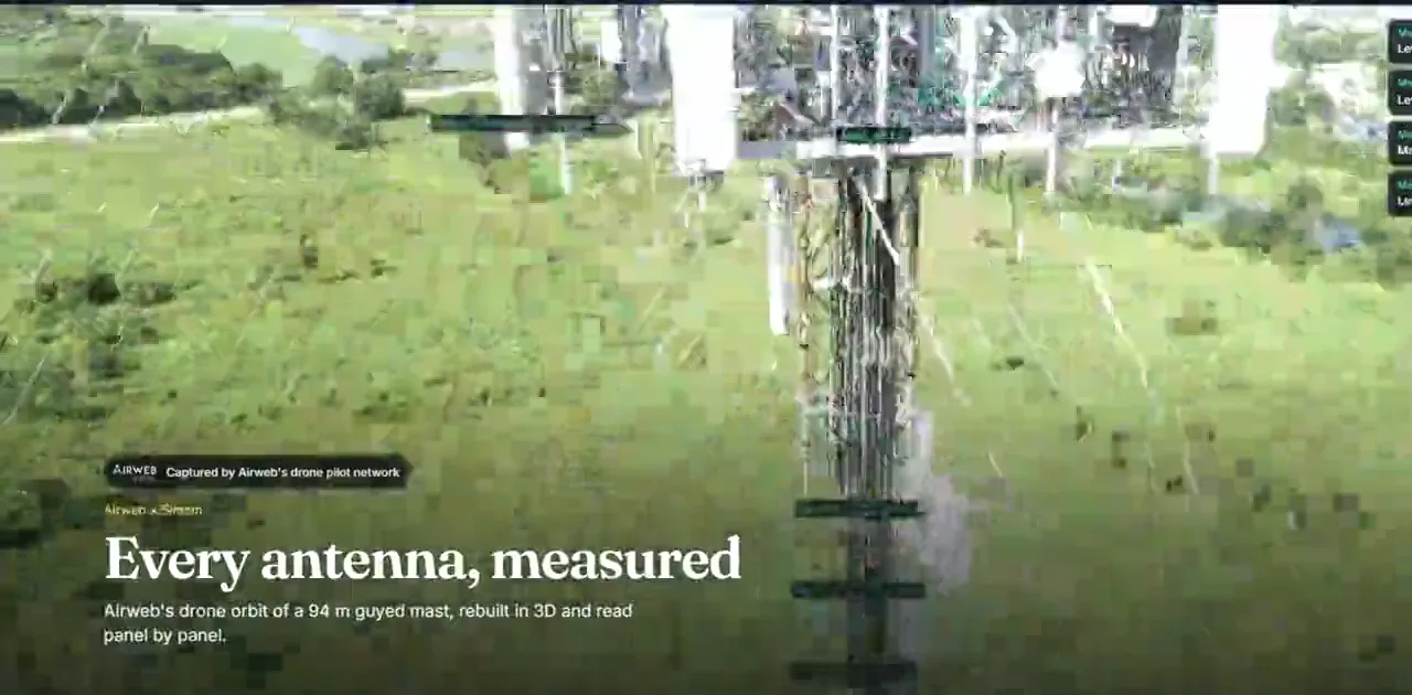
A mast, tower or pole rebuilt from a routine drone orbit into something an engineer can walk from the base to the top in a browser. Every antenna has a height, a facing and the photograph it was read from. Nobody climbs, nothing is closed, and the record is current rather than historic.
Built for tower owners and operators, telecom contractors, rigging and maintenance firms, utilities and the asset teams who are asked what is up there and cannot answer without sending somebody.
What this is for.
Three things we hear every week, in the words people use for them.
Everything about a mast is known by climbing it
The record lives in drawings that were right once. It drifts the moment a contractor swaps a panel, and the only way to check is to send somebody up.
A climb gets quoted before anyone knows what it is for
So the scope is written from the drawing, and the surprises turn up on the day with a crew already on site.
Two teams answer the same question from different sheets
Coverage and loading both depend on what is up there, at what height, facing which way. Both are working from the same guess.
What you get.
Every mount level, where it actually is
Heights, facings and tilts in one place, each one labelled with how certain it is.
A photograph behind every item
The difference between a number and a claim, and what lets somebody outside your team check it.
A first look that scopes the climb
The engineer knows where to point before anybody quotes, so the quote covers the real job.
A register, inspections and work orders on top
Findings tied to the thing itself, with the photograph they came from, so a note travels with the asset.
The work, moving.
Both are our own reconstructions. Captured by Airweb Digital’s drone pilot network. The demonstrations themselves are private and we open them with you on a call.
Three jobs, written up in full.
Every figure in these says what kind of figure it is: measured, a screening figure, or read by software and checked by a person. Where one was never measured, they say that instead of estimating it.
How working with us runs.
Four steps, and you can stop after the second one at no cost.
Tell us about the place
A sentence and a postcode is enough to start. If you already have footage, send that instead.
We look at it and quote
We say what it can and cannot become before you commit to anything, and the figure is fixed before the work starts.
We capture it and build it
Either we come and film it, or we work from footage you already have. Anyone in shot is blurred as standard.
You get a link your team owns
It opens in a browser on a phone or a laptop. Nothing to install, and nobody has to be taught how to use it.
Measurements read off a capture carry an error of about ten to twenty per cent. Where a figure matters legally or commercially the surveyed number rules, and nothing here settles a boundary, a quantity or a planning decision. Anyone in shot is blurred as standard.
Before you ask.
Does this replace a climb?
No. It narrows what a climb is for and lets you scope one properly, and it answers questions that would otherwise wait for the next visit. Planned work still means sending people.
How accurate are the heights?
The mast height on our published job carries about one per cent either way. Panel sizes are tighter, at about ten centimetres. Where a surveyed figure exists, the surveyed figure wins.
Did software count the antennas?
Software found them and a person checked every level against close photographs. That mattered: one automatic pass returned eighteen antennas at a level where eleven were real.
How many climbs will it save us?
We will not put a figure on it. Nothing about time or cost was measured on that job, and the obvious claim would be invented.
What does it need from us?
Two routine drone orbits, flown by pilots who already fly them. No ground markers, no road closure and nobody climbing. If you already hold suitable footage, we will look at that first.
Does it work on any tower?
It was built on a guyed mast. Lattice towers, monopoles and rooftop sites are the same method and we will say plainly if yours is harder.
Where to go from here.
Tell us about the place.
A free fifteen minute call. We will tell you what will work for your project and what will not, and if it is not for us we will say so. We come back to you with a time, so there is no calendar to wrestle with.
Or call +447491817476 during the working day.