The question is not which method is best.
Every conversation about capturing a site starts in the wrong place. Someone asks whether they should be using LiDAR or drones or the new Gaussian thing, and the discussion becomes a comparison of technologies, which is unresolvable because none of them is better than the others in any general sense.
The question that actually resolves it is duller and far more useful:
What decision does this twin support, and what is the cost of it being wrong by twenty centimetres?
Answer that and the capture method usually picks itself. A twin that exists so a project board can see progress without flying to site has an error tolerance measured in what a human eye notices. A twin that exists so a fabricator can build a steel connection has an error tolerance measured in millimetres and a legal exposure attached. Those are not the same product and should never share a capture budget.
The reason this matters more in 2026 than it did in 2023 is that the cheap end has become genuinely capable, which makes it much easier to over-buy or under-buy by accident.
What video-to-geometry can now actually do.
The state of the art moved in a specific and commercially relevant way this year. Work published in Automation in Construction — Video-driven Gaussian splatting for as-built building geometry with energy simulation, by Chowdhury and colleagues — demonstrates a pipeline that takes ordinary video of a building through Gaussian-based reconstruction and out the other side as closed-surface geometry suitable for building energy modelling.
That last phrase is doing more work than it looks. Building energy modelling is not a visualisation exercise; it is a simulation that requires watertight surfaces, sensible volumes and a coherent envelope. Producing that from footage, automatically, is a meaningfully harder thing than producing a photoreal point cloud.
  What changed in the pipeline

  The old route to an as-built model
    scan or survey
      -> registered point cloud
      -> MANUAL modelling, weeks
      -> closed surfaces
      -> simulation

  The route this research demonstrates
    ordinary video
      -> Gaussian reconstruction
      -> automated surface extraction
      -> closed surfaces
      -> simulation

  What moved: the weeks of manual
  as-built modelling in the middle.
  NOT the accuracy at the top.
The saving is the manual modelling step, and on a real estate portfolio that step is often the entire reason the twin was never built. Read the authors’ own error tables before you plan anything around it — the reported geometric deviations are the number that decides whether this fits your use case, and they are comfortably inside what an energy model tolerates while being nowhere near survey tolerance.
Read the accuracy figure the right way round.
This is the part that gets skipped, and skipping it is how organisations end up with an expensive model nobody trusts.
A geometric deviation in the region of a fifth is an extraordinary result for an automated pipeline running on video, and a completely unacceptable one for anything that touches fabrication. Both statements are true at the same time, and which one governs depends entirely on the downstream task.
| Downstream task | Tolerates rough geometry? | Why |
|---|---|---|
| Building energy modelling | Yes | Simulation works on envelopes, volumes and orientations. Modest surface error changes the answer far less than assumptions about occupancy and plant do. |
| Progress monitoring and reporting | Yes | You are comparing this week to last week. Consistency matters more than absolute accuracy. |
| Orientation, induction, remote familiarisation | Yes | Recognition is the requirement. People navigate by what things look like. |
| Stakeholder and planning review | Yes | The audience is making qualitative judgements about a place. |
| Clash detection against new design | No | A false clash wastes a day; a missed clash costs a fabrication run. |
| Retrofit measurement and prefabrication | No | Something is being manufactured to fit a space you measured. The tolerance is the product. |
| Contractual, legal or insurance evidence | No | The number will be challenged, and a reconstruction cannot supply provenance. |
The pattern is consistent. Rough geometry is fine whenever the twin informs a human judgement, and unacceptable whenever the twin feeds a manufacturing or legal process. That single distinction resolves most capture arguments in about a minute.
What each method really costs you, beyond the invoice.
Comparing day rates misses most of the cost, because the differences that matter are in access, skills and repeatability.
Phone or handheld video. Anyone on site can do it, today, with no booking and no shutdown. That is the whole advantage and it is enormous: it makes recapture free, which is what turns a twin from a snapshot into a record. The costs are inconsistent coverage, poor results in bad light, and a strong dependence on whoever held the camera walking sensibly.
Drone. Reaches roofs, facades and anything at height, covers a large site quickly, and produces the consistent overlapping coverage reconstruction likes. The costs are real and often forgotten: airspace permissions, a qualified pilot, weather, restrictions near live operations, and the fact that it sees the outside of things far better than the inside.
LiDAR. Gives you a measurement with a stated tolerance, which is the only thing in this list you can put in a contract. The costs are the engagement itself, the scheduling, the access, and the point that people underrate most — it is rarely repeated, so the data ages, and an out-of-date survey has caused more rework than a rough model honestly labelled.
The drawings being out of date is a far more common failure than the drawings being imprecise. Cheap capture fixes the first problem; only survey fixes the second.
On most real projects the answer is a mix. Survey the parts with tolerances. Video everything else, often, and accept that it is approximate. The mistake is applying one standard uniformly because it is simpler to procure.
How to settle this in an afternoon.
You do not need a technology evaluation. You need four answers written down.
- Name the decisions. List what people will actually do with the twin over the next year. If the list is empty or entirely hypothetical, stop — the capture method is not your problem.
- Put a tolerance on each. In units, before anyone shows you a render. “Good enough to see” and “good enough to cut steel from” are different lines and both belong on the page.
- Split the list at the tolerance boundary. Everything above the line is survey work. Everything below is camera work. The split is nearly always uneven, and the cheap side is nearly always bigger than people expect.
- Decide the refresh interval before the first capture. This is the question that changes the method most and gets asked last. A twin you will refresh monthly cannot be a scanning engagement, whatever its accuracy.
Then pilot one building or one zone, end to end, including the refresh. A pilot that captures once proves the easy half. Our Idea Validation Sprint at £495 is designed for settling exactly this kind of scoping question, and prototype work starts from £3,250.
Where we actually stand on this.
The honest division between what we run and what we are reporting.
What we run in production: static Gaussian splat capture, cleanup, editing and browser delivery, using our own splat editor and Simam 3D Studio. We have delivered photoreal capture as an operational tool, including a site where the drawings had fallen behind reality and the capture became the way people navigated.
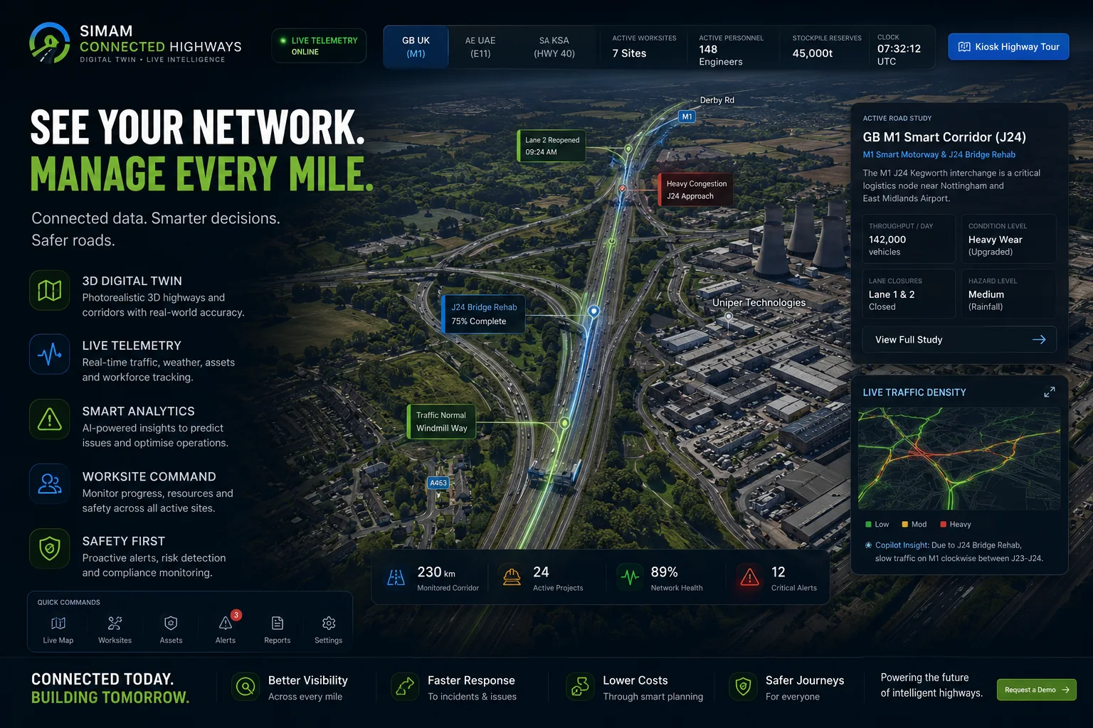
What we build around infrastructure and construction data: browser-based twins for corridors, estates and sites — our Connected Highways twin is the clearest example — and Simam BIM, which imports and works with IFC, glTF, STEP and DXF in a browser.
What we have not done: run a video-to-energy-model pipeline for a client, or delivered survey-grade capture. We are not a surveying practice and would not pretend to be one; where a project needs certified accuracy we would expect you to engage a surveyor and would happily work to their data.
The reason to read this from us rather than from a capture vendor is that we have no scanner to amortise and no rig to keep busy. The recommendation above — survey the tolerances, video the rest, refresh often — is what we would tell you if you never bought anything from us at all.
What this means for a buyer.
Start with the business decision, audience, and evidence the project must produce. Simam Digital can turn that into a focused discovery, prototype, MVP, or production roadmap across AI applications, SaaS platforms, digital twins, real-time 3D, XR, and interactive systems.
Sources and further reading
- Video-driven Gaussian splatting for as-built building geometry with energy simulation (Automation in Construction, 2026)
- DRAGON: Drone and Ground Gaussian Splatting for 3D Building Reconstruction
- LI-GS: Gaussian Splatting with LiDAR Incorporated for Accurate Large-Scale Reconstruction
- 3D Gaussian Splatting for Real-Time Radiance Field Rendering (Kerbl et al.)