Street to lobby, continuous
The route from the pavement into the lobby is unbroken, so the arrival a buyer imagines is the arrival they get.
Four separate clips of the same sea front, joined on the one thing they had in common: an orbit out over the water. Seven towers came out of it, lettered A to G, between 16 and 32 floors and between 45 and 91 metres, with a lobby you can walk into from the street and a beach front you can walk at sunset.
Separate clips do not know about each other. Each one is its own little world with its own idea of where things are, and joining them badly gives you a sea front with two of everything. These four had one thing in common: every flight swung out over the water at some point, so the sea orbit became the anchor they were all aligned on.
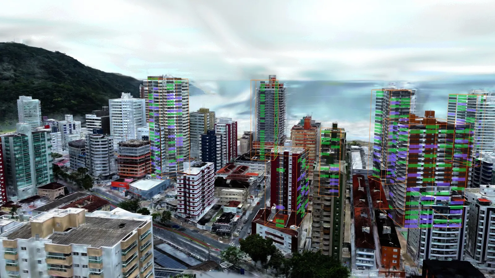
The route from the pavement into the lobby is unbroken, so the arrival a buyer imagines is the arrival they get.
A walk along the sea front at the hour everybody photographs it, which is the hour the brochure uses and the one the viewing never happens at.
What is actually around the towers, pulled from open map data rather than written by us.
Search shades where it believes a thing is. The restyle shows the front imagined another way, and is labelled as imagined wherever it appears.
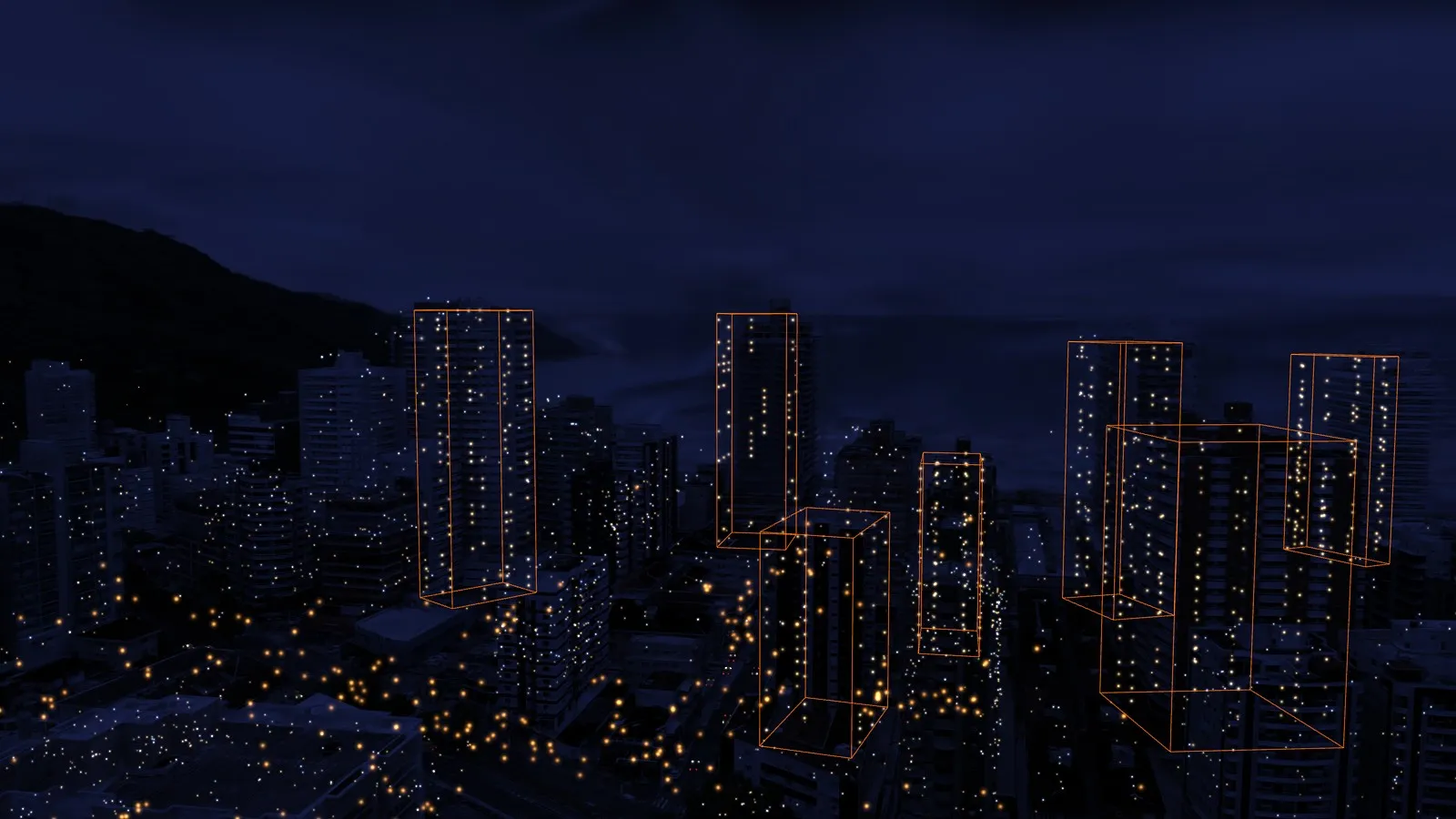
One of the seven came out of the footage wrapped in netting with an unfinished crown, and the demonstration says so. It would have been easy to tidy away and it is more useful left in.
A capture is a record of one particular week. The honest version of that is a building still under construction sitting in the middle of six finished ones, which is also the argument for capturing again later: the next flight is not a replacement, it is the second entry in a record.
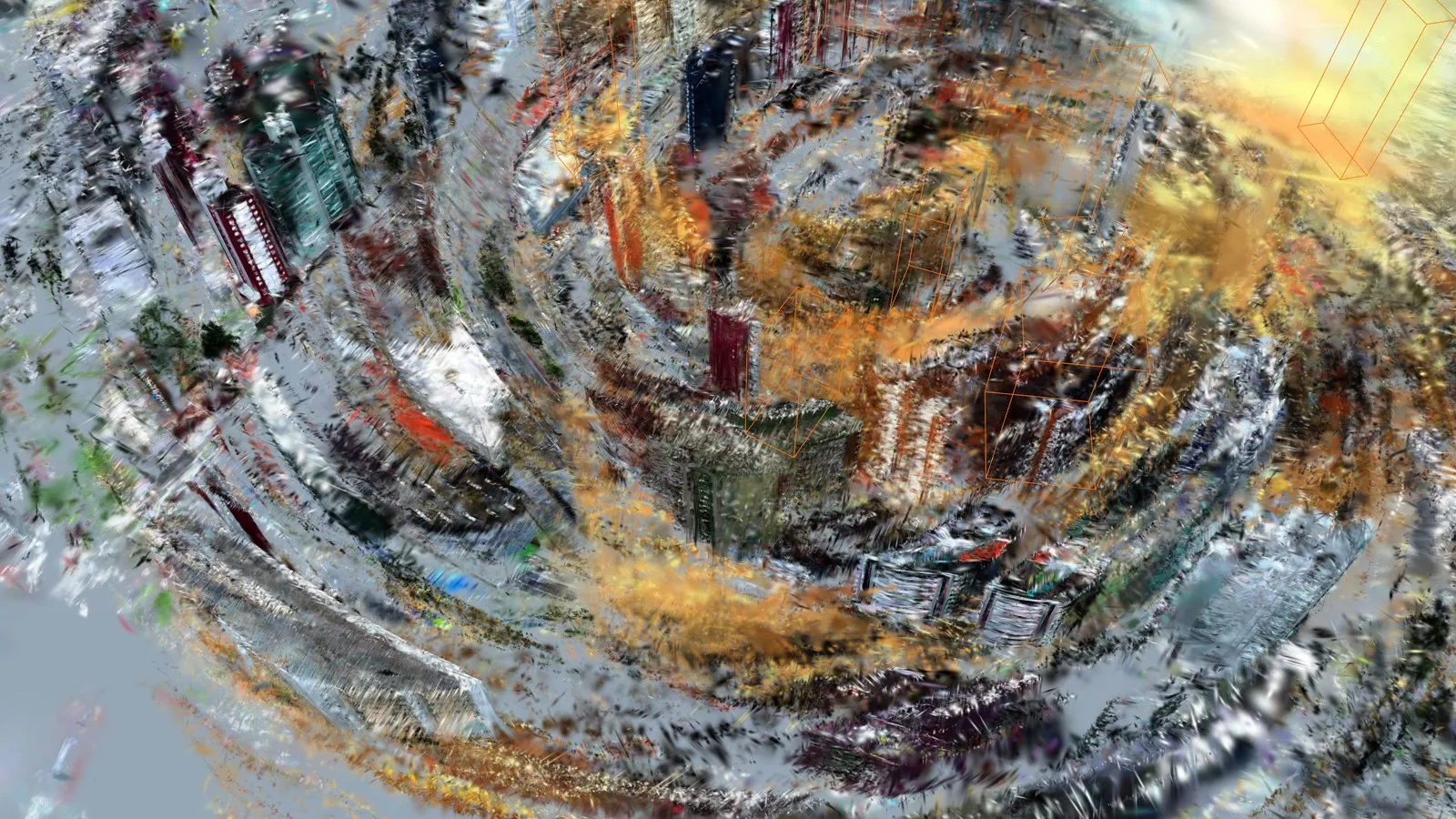
The towers are lettered A to G and are never named. No developer, street or building name appears anywhere in the demonstration, and the places in it are described generically.
All 1,336 homes, with their prices, their statuses and their yields, come from a fixed seed generator. Nothing was scraped or sourced and there is no real listing data of any kind in it. None of these homes is for sale.
Heights are measured from the 3D by counting storeys on Tower A at about 2.9 metres a floor, so they are good to about ten per cent and should be read as a guide rather than a measurement. The surveyed figure rules wherever one exists.
No blur pass was run on the footage or on the 3D. The restyles are AI imagined rather than plans, and the search shading has never been scored against hand labels.
Four clips became one sea front here. The same joining is what turns several passes of a street, an estate or a campus into one 3D a buyer can move through, with the disagreement between flights measured and written down rather than hidden.
Tell us where the place is, or send us a clip you already have, and we will come back with what it would take and what it would cost, in the same reply. There is nothing to pay to find out.