The competition is everything else that weekend
not the other castle. A page that lets somebody wander the place for two minutes is competing on a different axis from one that lists admission prices.
A place a visitor can walk through before they arrive, on their own phone, with its story told at the point on the site it belongs to. Eleven of them are linked from this page and every one opens without a form. All built from footage that already existed.
A heritage site has one story and a hundred ways of failing to tell it. A leaflet cannot show the building. A film can show it but cannot be explored. A page of text is read by nobody who has not already decided to come. And the thing that would work, an app, is a budget and a procurement and an install that a visitor will not do for one afternoon out.
Eleven places, each one a link. They were all built from footage that already existed rather than from a flight commissioned for the purpose, which is the point: the cost of trying this on your own site is a drone operator you have probably already hired.
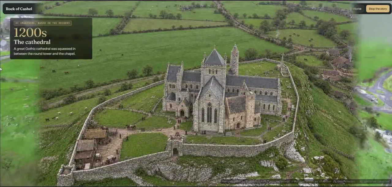
Rock of CashelTwo flights round an Irish ruin, with a thousand years told across ten chapters.Open it →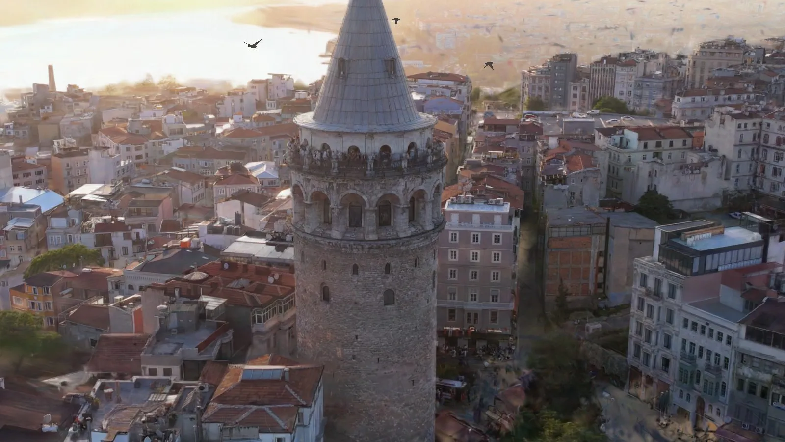 Galata TowerFive clips, 329 frames, and 670 years told where they happened.Open it →
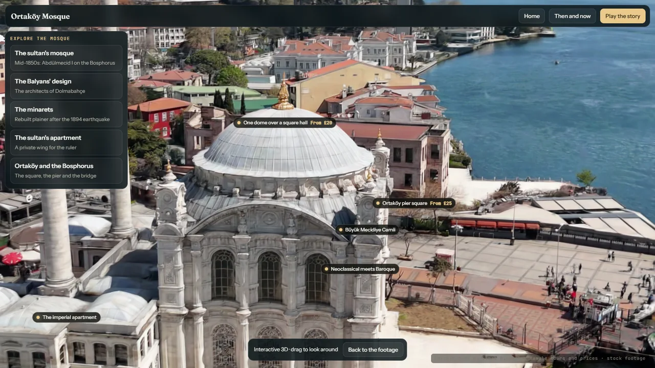 Ortaköy MosqueA 22-second clip became a narrated 3D mosque in about eight minutes on one desktop machine.Open it →
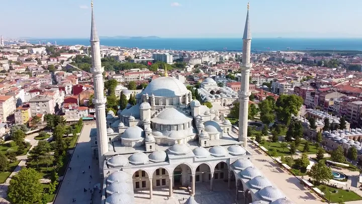 Fatih MosqueA Byzantine church, a conqueror, an earthquake and a rebuilding, on Istanbul’s fourth hill.Open it →
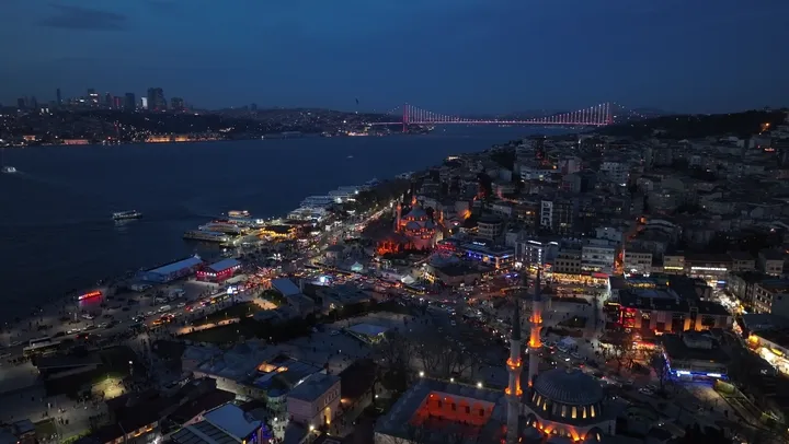 Üsküdar by nightA night flight over two Ottoman mosques at the water’s edge.Open it →
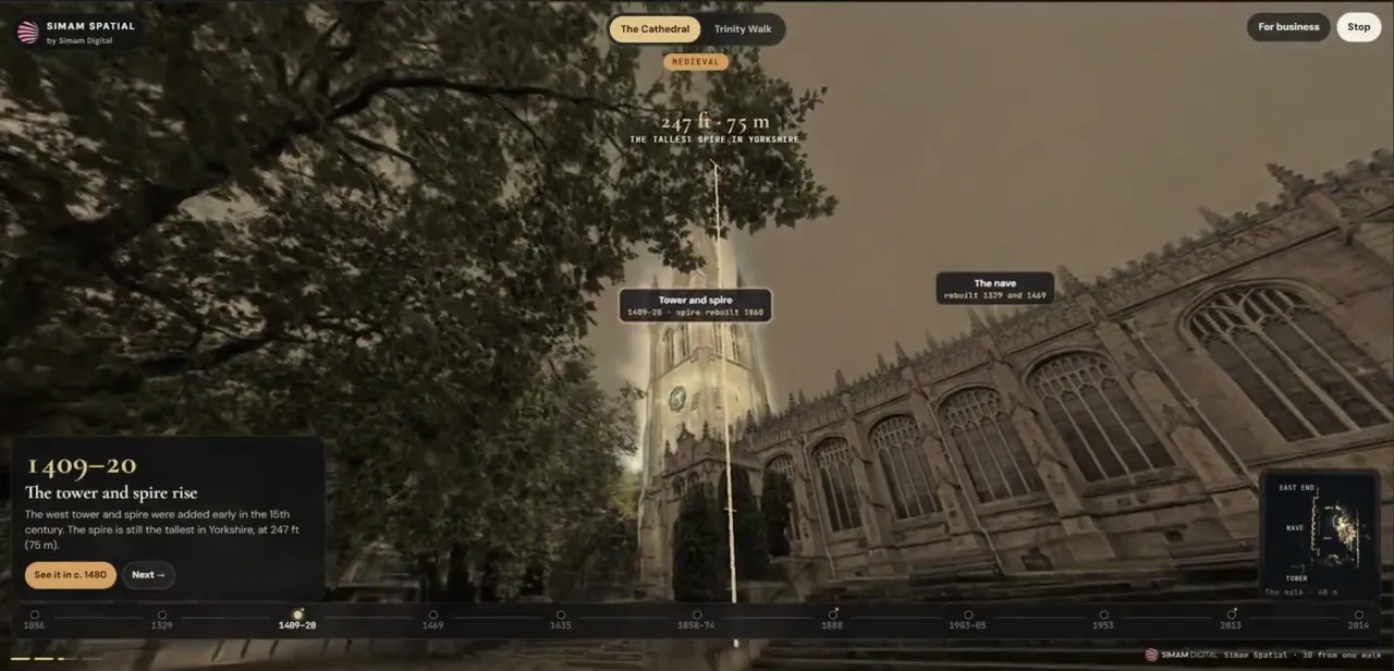 Wakefield CathedralOur own walk, on a 360 camera, with nine hundred years told along the route.Open it →
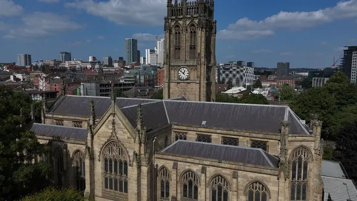 Leeds MinsterA thousand years on Kirkgate, and the office towers behind it in the same model.Open it →
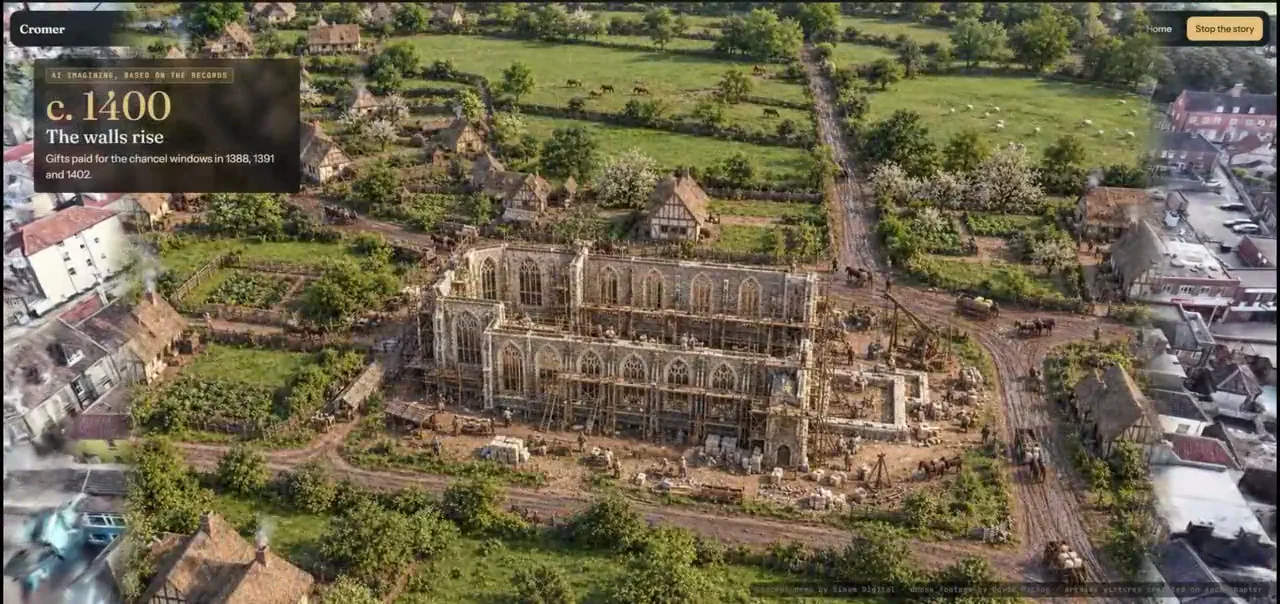 CromerThree flights round a Norfolk church, and the seaside town it stands in.Open it →
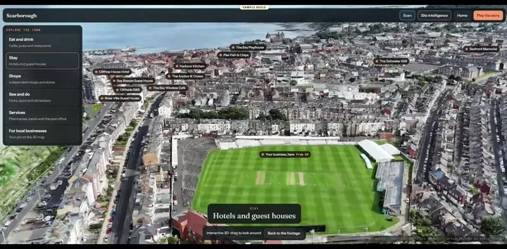 ScarboroughAn English seaside town and the castle on its headland, from four clips.Open it →
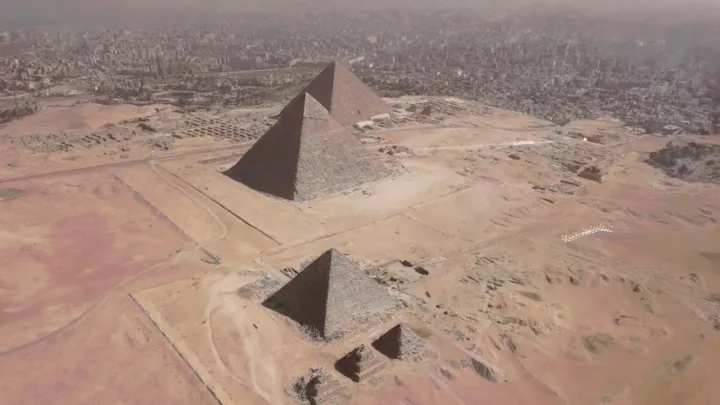 GizaRaised in the order it was built, from a single drone clip.Open it →
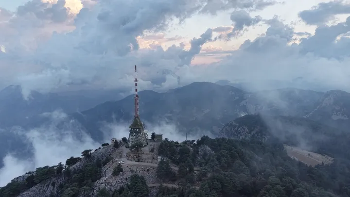 A mountain summitA mast on a ridge at dawn, with the cloud rolling over it. A working site, not a visitor one.Open it →
A twelfth is open on the lab and is not listed here. It is a privately owned castle that nobody commissioned us to show, so we do not advertise it, and that rule does not change because the demo happens to work.
The decision to come is made at a desk or on a phone, days earlier, against every other way of spending an afternoon. Whatever a site publishes at that moment is doing the selling, and for most sites that is photographs and opening times.
not the other castle. A page that lets somebody wander the place for two minutes is competing on a different axis from one that lists admission prices.
A photograph flattens a hill, a ruin and a tower into one plane. Moving round a model is the first time a lot of people understand how big a thing is.
Sites hold deep research and publish a paragraph of it, because there is nowhere to put the rest where anybody will read it.
A tower with a spiral stair excludes a lot of people. A browser does not, and the same build serves a classroom in another country.
Each chapter is pinned where it happened, so a reader is stood under the thing being described rather than reading about it elsewhere.
No app, no account, no install. It opens on a phone, and it can be put in a newsletter, a QR code or a post.
Every one of these came from clips, not from a flight commissioned to make them. A site with a drone operator on its contact list already has the input.
so a single period, a single feature or a single story can be shared on its own, which is how this material actually travels.
These are marketing and interpretation decisions rather than engineering ones, and none of them is made by the model.
Every figure on this page says what kind of figure it is. That is the whole of why it can be used.
A visual record. Nothing on these pages is a measurement and nothing should be read as one.
If a dimension matters to a decision, it needs measuring properly, and that is a different job.
None of the places shown asked for these or has any involvement in them. Every page says so.
The obvious thing to put here is more visits or more bookings. Nobody measured that, so there is no figure and we are not inventing one.
Nor is there a figure for what this costs against a commissioned film or an app. Nobody measured that either.
Built on stock footage, as our own demonstration. Nobody commissioned it: it exists to show what the method does on a working industrial site rather than on a tidy one. The site and its operator are not named here and are not ours to name.
Yes, all eleven, with no form and no account. That is deliberate and it is unusual on this site: everything else we show is behind a request, and these are not.
No. Not one of them. These are our own builds on footage that already existed, nothing implies a partnership with any of the places shown, and each page says so on its face.
The archive pictures are real, public domain or openly licensed, and each is credited with its licence on the chapter that shows it. Where no archive picture exists, the then-and-now images are AI illustrations and are labelled as illustrations rather than records. We would rather say that plainly than have somebody work it out.
No. A heritage build is a visual record, not a survey. Nothing on these pages is offered as a dimension, and where a demo shows a height it explains that it is an estimate. If you need measurements of a building, that is a different job and we would scope it as one.
One clip only sees one side of a thing, so Ortaköy’s far side is soft where the drone never went. The night 3D at Üsküdar rebuilt the near shore round the two mosques: the far city and the lit bridge did not build from the night footage, so what you get is the shore below rather than the whole view. And on three of the places the switch from footage into 3D first pointed the wrong way, from a timing fault in how frames were matched to the clip. That was found and fixed before any of these pages were published, so no reader ever saw it.
We do not know and we are not going to claim it. Nobody has measured a visitor or booking uplift from any of these, so there is no figure and we will not invent one.
Footage you may already have. Drone clips are the usual input, a walk on a 360 camera works too, and if you hold neither then a single operator visit is the whole of the capture. After that it is the history, which most sites have far more of than they publish.
Yes. Each chapter can carry its own link, and the guide can end on yours.
Tell us what it is and what you already hold: footage, research, or neither. We will say what it would take and whether it is worth it.